Tropical Storm Chantal set to make landfall overnight along South Carolina coastline
Tropical storm watches and warnings issued for portions of Carolina coasts
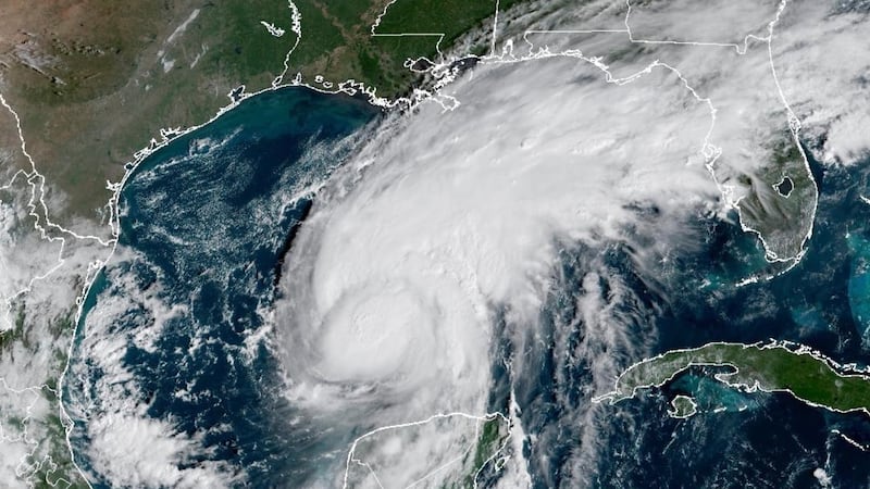
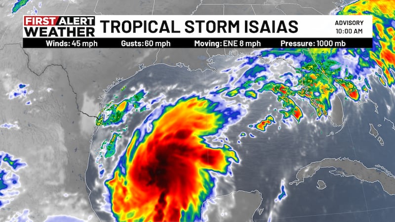
ATLANTA, Ga. (Atlanta News First) - Over the past few hours, Tropical Storm Chantal has continued to strengthen and now has maximum-sustained winds around 50 mph. The forecast still has Chantal making landfall overnight between Charleston and Myrtle Beach, SC.

A tropical storm watch is in effect from Edisto Beach to the mouth of the South Santee River, SC. Areas in the watch could see tropical storm winds as the system pushes inland. A tropical storm warning is in effect from the mouth of the South Santee River in South Carolina to Surf City, NC. Tropical storm force winds are likely in the warning zone.

In addition to winds, rain will be another issue South Carolinians and eventually those in eastern NC will have to deal with over the holiday weekend. Widespread amounts of two to four inches are forecast, with isolated amounts of six or more inches possible.
Copyright 2025 WANF. All rights reserved.