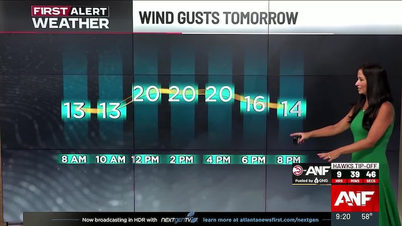
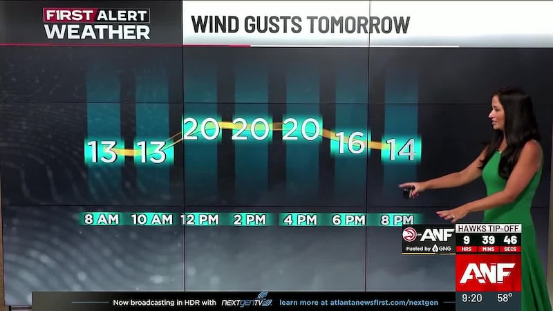
First Alert: Not quite as hot on Tuesday; Scattered storms likely
Lower humidity is on the way for the midweek
ATLANTA, Ga. (Atlanta News First) - Monday was brutally hot with feels like temperatures near 110° in north Georgia. Thankfully, Tuesday will not be quite as hot, but it could feature scattered strong to severe storms as a cold front moves through.
There is a Severe Thunderstorm Watch in effect until 3 AM for far north Georgia. The main threat is for strong straight-line winds in any storms that arrive from the north.

The low temperature will be in the mid to upper 70s at sunrise, and the morning commute looks dry. The best chance of any storms in the morning is in the mountains. Afternoon showers and storms, a few of which could become strong to severe will pop-up around north Georgia. The high temperature in Atlanta will be near 90, and it will feel like the mid 90s.
The risk of showers/storms lingers into the evening before gradually diminishing after midnight as drier air sweeps in on a northwest breeze. Look for lows in the 60s on Wednesday morning - it will feel a lot better than Tuesday morning. Expect a lot of sunshine and highs in the 80s on Wednesday.
It may not take too long to get back to 90°. Thursday will be close to it, and Friday could reach the low 90s in many cities. The weekend looks hot, but not super humid. Expect highs in the low to mid 90s. Unlike last weekend, the risk of any rain between Wednesday and Sunday is very low. We could see a long dry stretch that lasts into the middle of next week.

Copyright 2023 WANF. All rights reserved.