FIRST ALERT | Showers and t-storms likely on Thursday
Off and on rain is likely through Saturday night
ATLANTA, Ga. (Atlanta News First) - The temperature has warmed back into the 60s across most of north Georgia, but it’s come with rainy weather that will stick around for a few days. First Alerts are in effect for Thursday, Friday and Saturday, and a Flood Watch lasts through at least Friday evening.

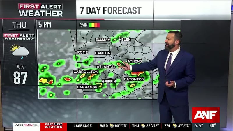
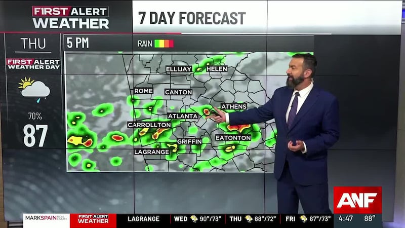
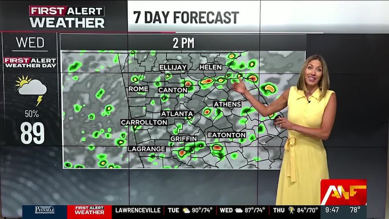
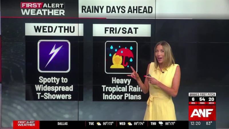
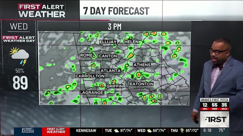
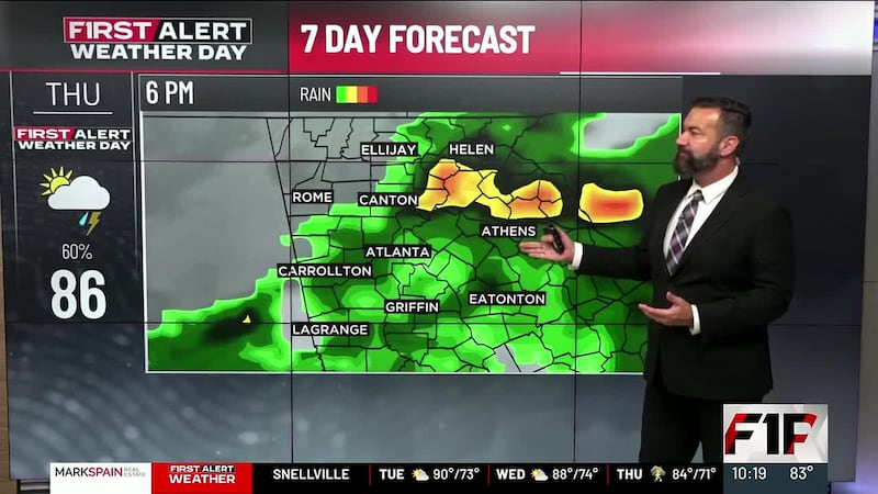
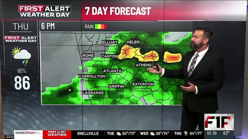
Expect occasional downpours on Thursday. Thunderstorms are possible, and there is a low risk of strong to severe storms mainly in west Georgia. Both the afternoon and evening commutes could be slowed by rain and ponding on the roads. It will be a very mild day with highs in the mid 60s to near 70.
Overall, there is a lower chance of rain on Friday, but it still looks damp and dreary. Expect isolated to scattered showers with highs in the 60s. You may need the umbrella for your Friday evening plans.
Mild weather stick around into the weekend, but a fresh round of rain and possibly t-storms is coming our way Saturday into early Sunday. At this point, it’s a good idea to shift some plans around from Saturday to Sunday if you don’t like traveling in the rain. It may be heavy at times during part of the day/night, and some t-storms could be strong/severe.
Dry weather returns on Sunday as it turns cooler with a gusty northwest wind. It looks like we’ll get a stretch of dry and quiet weather for a change early next week.

Copyright 2024 WANF. All rights reserved.