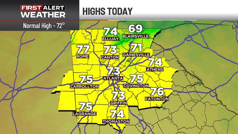
FIRST ALERT WEATHER DAY: Another round of storms tomorrow
Chance of strong to severe storms returns Thursday
ATLANTA, Ga. (Atlanta News First) - Overnight, expect the storms that rolled through in the afternoon and evening to dissipate as we head towards the midnight hour leaving us with a muggy night and lows back in the upper 60s to lower 70s. Like the past few mornings, some patchy fog is possible as you work your way through the morning commute.

First Alert Weather Day for more storms Thursday
We’ll see another round of storms Thursday afternoon into the evening as we finally see the wet pattern begin to break down over North Georgia. This will allow a boundary to move through (think of it as a front, but temperatures won’t cool down behind it). The storms that move through Thursday will have the potential to be strong to severe, with damaging straight-line winds, frequent lightning, and heavy rains being the main threat.

Once the storms pass Thursday, temperatures will heat up and it will be downright HOT for the weekend. An upper level high pressure will move into the eastern U.S. which will allow the hottest air of the season to move in. Temperatures this weekend will reach into the middle 90s with the heat index creeping up towards 100°! If you’re going to be out and about enjoying the drier weather, remember to keep hydrated and reapply that sunscreen!

Copyright 2025 WANF. All rights reserved.